Estate Map
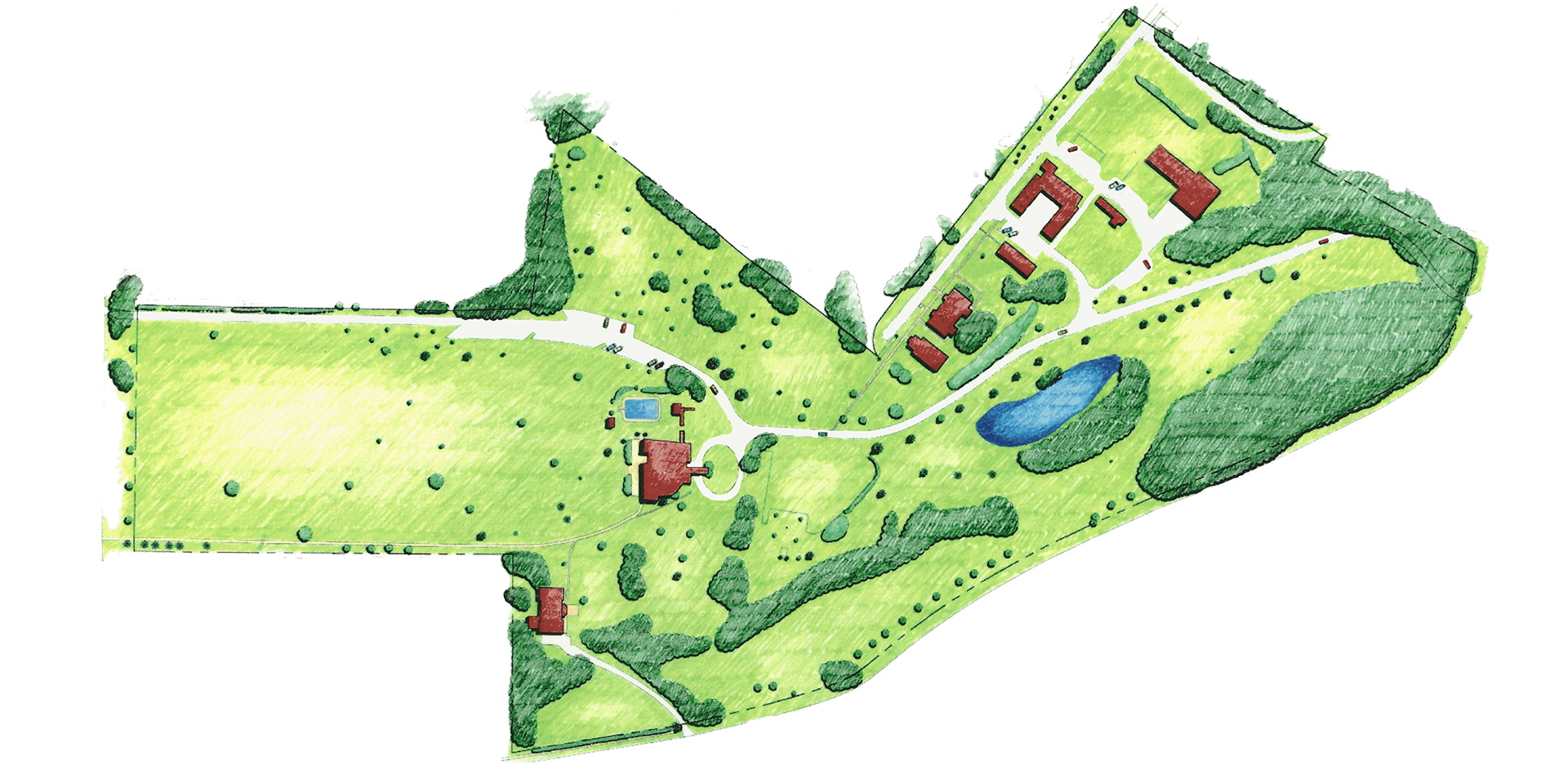
Explore the map to learn more about various locations of buildings, landscape features, and visitor amenities.
Please use Google Maps for a mobile-friendly version.
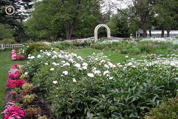
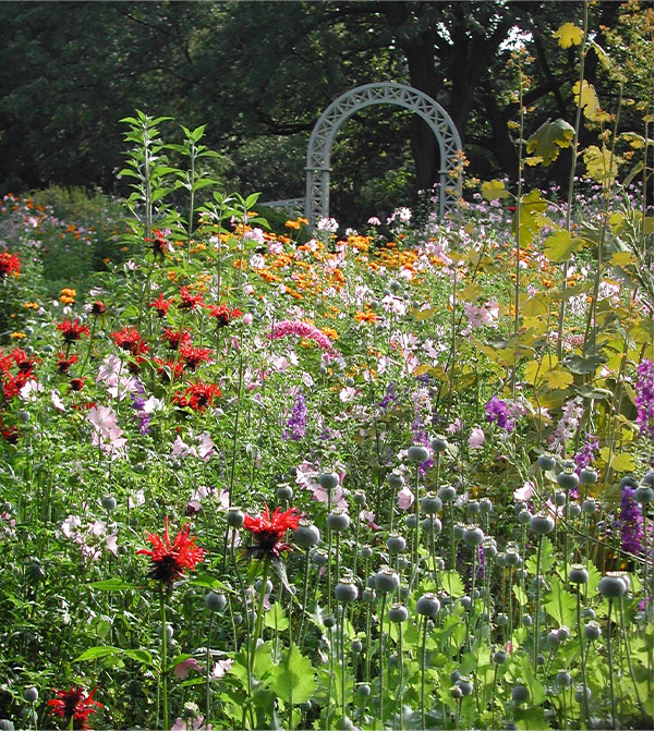
Designed in 1910, this garden features four geometric beds with a natural array of plantings. The garden was enclosed by walls to avoid competing with any other element in the landscape.
The four walls consisted of the grape arbor to the north, a tall rustic fence adorned with vines and shrubs along the south and east, and a brick terrace furnished with a concrete bench facing the garden to the west.
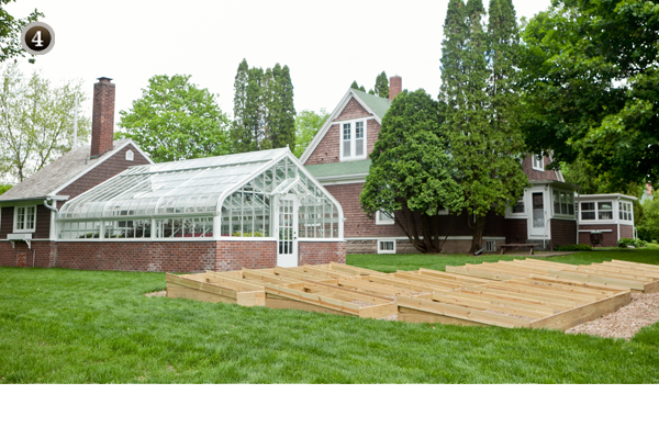
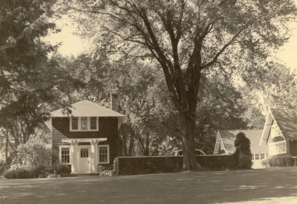
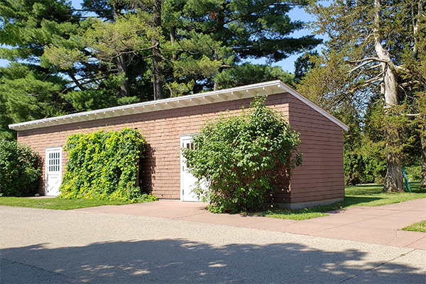
Called the Servants’ Village, these buildings comprised the working side of the estate. The Douglases added a residential duplex in 1909 to provide housing for staff with families. Next door, the 1915 Lord & Burnham Greenhouse housed bedding plants for the garden and provided fresh flowers for the mansion during the winter.
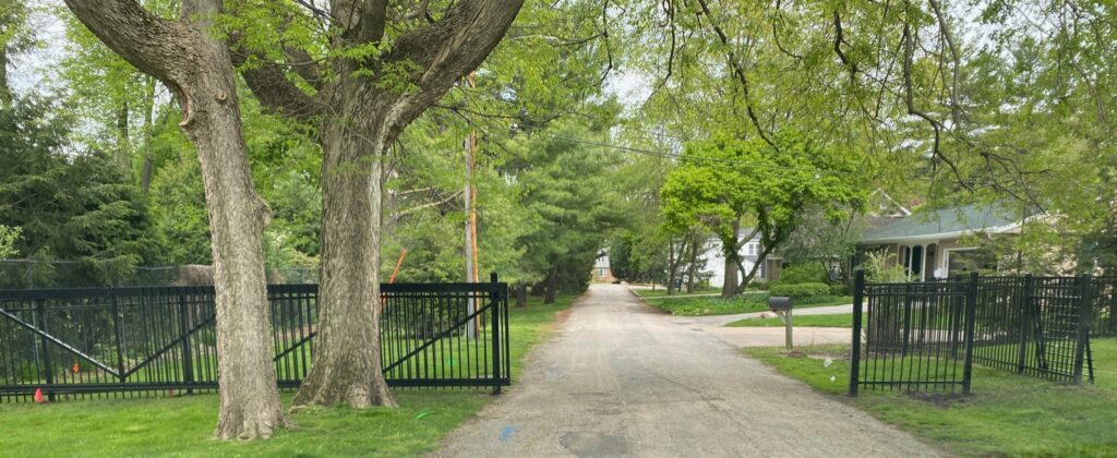
The Hall family decreased the size of the property to 26-acres by selling off a portion of the estate. The residences near the Dows Lane entrance were once part of Brucemore.
Dows Lane is a city street that ends on Brucemore property today. Buses and oversized commercial vehicles enter this way to ensure enough overhead and side clearance.
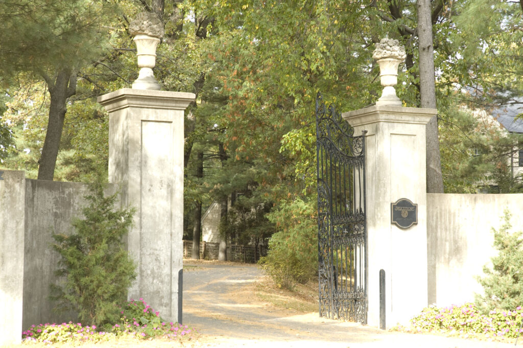
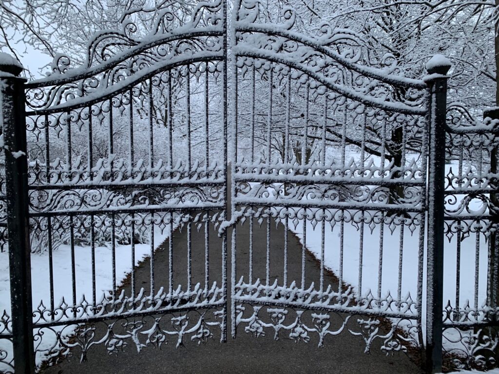
In 1907, the Douglases moved the entrance of the estate from First Avenue to Linden Drive. The Douglases had gates shipped from California and installed in 1928. The “Bowl of Plenty” on top of the pillars is a symbol of hospitality and can be found throughout the estate.
